
2013, Volume 15, Issue 5
Strategic Study of CAE >> 2013, Volume 15, Issue 5
Directional relation description and calculation based on Voronoi region in GIS
Chinese Academy of Surveying and Mapping,Beijing 100830,China
Next Previous
Abstract
Directional relation is very important in GIS,but because of depending on the size of objects,it is difficult to make a formal description and determination. In this paper on the basis of CDR,a solution using Voronoi Region of MBR is suggested,and the wonderful results have been acquired.
Keywords
Figures
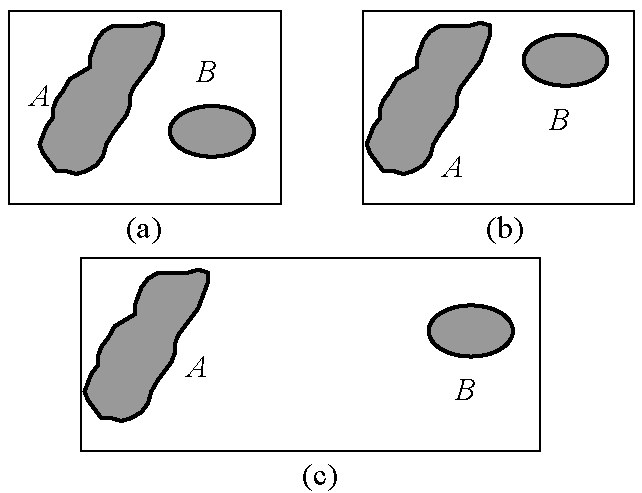
图1

图2
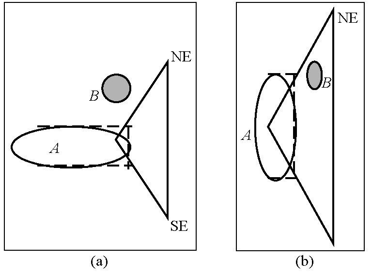
图3
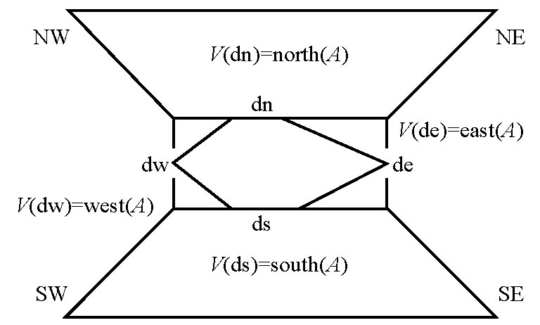
图4

图5

图6
图7
References
[ 1 ] Peuquet D J, Xiang Z C. An algorithm to determine the directional relationship between arbitraril- shaped polygons in the plane [J].Pattern Recognition,1987(20):65-74. link1
[ 2 ] Aurenhammer F. Voronoi diagrams:A survey of a fundamental geometric data structure[J]. ACM Computing Surveys,1991,23 (3):345-405. link1
[ 3 ] 李成名,陈 军. 空间关系描述的9交模型[J]. 武汉测绘科技大 学学报,1997,22(3):207-211. link1
[ 4 ] Chen J,Li C M. A Voronoi-based 9-intersection model for spatial relations[J]. International Journal of Geographical Information Science,2001,15(3):201-220. link1


 京公网安备 11010502051620号


