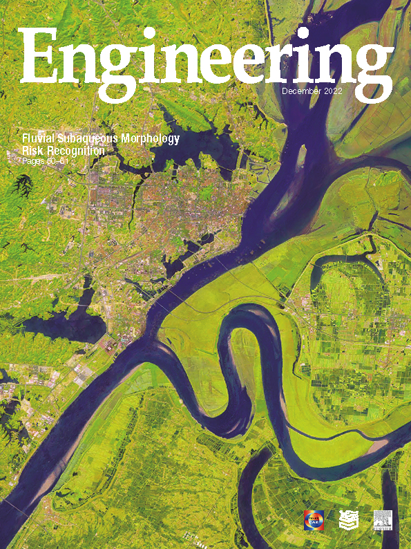
A change in the upstream water and sediment discharge usually leads to an adjustment of the downstream river regime. Since ancient times, the middle and lower reaches of the Yangtze River have experienced dramatic changes in river regime and severe threats of bank collapse. The present meandering river section that forms the main stream of the Yangtze River is the epitome of the Yangtze River bank erosion risk. For example, the main S-shaped channel with a short radius of curvature in the lower Jingjiang reach of the Yangtze River close to the mouth section of Dongting Lake shows a tendency to cut off the bend and straighten, which will eventually form an oxbow lake as usually occurred before. One of the key articles in this issue analyzes the signs of subaqueous bank erosion along the middle reaches of the Yangtze River through an underwater topographic survey over nearly 100 km via a multibeam echo-sounding system in the most extensive underwater survey with an unmanned vehicle that has ever been done.


 京公网安备 11010502051620号


